Cam MTB - the Cambridge Mountain Bikers' Forum

Click on the "return to website" button to see our new website with loads more details of who we are, where and when we ride and much more.

DISCLAIMER. MOUNTAIN BIKING CAN BE DANGEROUS. YOU JOIN US AT YOUR OWN RISK.

SAFETY BRIEFING.

  • Wear a helmet. Despite recent advances in medical science, brains still cannot be mended nor replaced.
  • Wear gloves or mitts. Hands often hit the ground first. Cuts and grazes invite infection and a hospital visit.
  • Wear eye protection, it only takes a twig or thorn to lose an eye. Crud catchers are a good idea in mucky weather.
  • When downhilling, for your own protection, allow plenty of space behind the rider in front.
  • Bring a bare minimum emergency tool kit and a spare inner tube.
  • Breakdowns are a bore. Plan not to have any by ensuring your bike is in perfect working order.
  • Punctures are also tedious. You can minimise them by fitting latex tubes, slime tubes or running tubeless tyres.

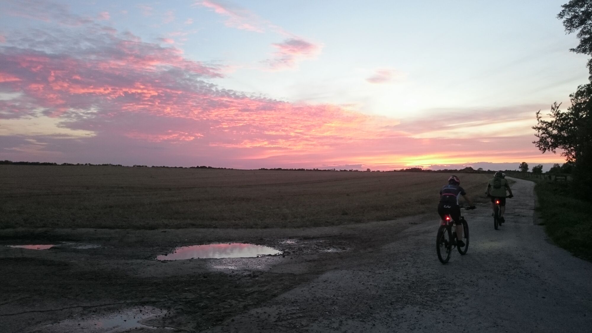
Photo: CAMMTB Winter 2022-23 rides have been posted up - please click on the Runs List link..

CAMMTB Forum
Start a New Topic 
Author
Comment
Garmin Edge 705 alternative maps

I mentioned this to someone the other night, and thought I should share!

I've found an open source map which works really well on my 705 (and I think would work on other GPSs as well). It's much better than Garmin's own City Navigator and better than I've heard their topo maps are. It's Ordnance Survey 'look and feel', so shows rivers, woods, paths, bridleways etc, and road layouts and colours are good too.

The only downside is that if you ever use your Edge as a satnav, it's not searchable for addresses as Go-Tos (which City Navigator is).

Here are some notes I put together for a friend on where it is and how to get it onto a 705:

1  You'll need a micro-SD card with about 590mb available. There's one for 4 quid here.

Put the new card into your Edge and turn it on. This will format the new card correctly.

2  This is the site where I got the maps from:  http://talkytoaster.info/ukmaps.htm

To download the OS look-and-feel mapping, go HERE - WARNING -this link will start a download of a zip file with the mapping file in it.  It's a half-GB file, so it will take a while.

3  When it's downloaded, double-click the zip file.  This will unzip it, which will create a folder called something like "120928-British-Isles+Contours-Routable-OS50tt-GMAPSUPP".  Within this will be two files, "120928-British-Isles+Contours-Routable-OS50tt-GMAPSUPP.img" and a README file.

4  Rename "120928-British-Isles+Contours-Routable-OS50tt-GMAPSUPP.img" to "GMAPSUPP.img".

5  Plug your Edge in to your computer and find the removable drive, probably called UNKNOWN or UNNAMED or similar.  Make sure to use this drive - do NOT use the Edge's own storage, which will be a drive called GARMIN.

6  Create a folder on the card called "Garmin".

7  Drag "GMAPSUPP.img" into that folder.  This took about half an hour for me, so you might need to be patient!

8  Unplug the Edge and turn it on.  The mapping should load automatically, I think, but to check, go to Menu/Settings/Map and scroll down.  At the bottom of the screen, if you scroll using the joystick (keep going 'off the bottom of the page'), you should see two maps available - they are 'mapset' and 'OSM-british_isles-OS50tt'.  They should both be ticked - you tick/untick by clicking on the joystick.

DONE!

The level of detail varies depending on two things - how far in you zoom (top right side buttons), and the first setting in Menu/Settings/Map - 'Detail'.  You'll see you have five levels, from Least to Most.  It will probably take some experimentation to get this right, and I suspect it may need changing depending on what you're doing, rather than there being one setting which is always right. I'm using 'Less' most of the time.

Enjoy!
Dom

Re: Garmin Edge 705 alternative maps

I have these installed on my E.Trex 30 and find them very acceptable. I concurr with Dom that the level of detail is a bit hit & miss-for example some smaller roads wil not actually appear until you zoom in quite a way. Also too much info clutters the map at certain levels-it shows all sorts of P.O.I's if a town is displayed for instance. Accuracy is good and once you get used to the different graphic "feel" of the map is darned brilliant for a freebie. I had some free 1:25000 OS maps with my E.trex which are pitiful in terms of zoom range & rastering.